GIS Services
Welcome to Proffer Engineering, where we specialize in providing cutting-edge geospatial solutions designed to meet the unique needs of our clients. Our extensive range of services, including Photogrammetry, LiDAR technology, and Geographic Information System (GIS), is geared towards enhancing operational efficiency and project outcomes. Explore how our services can benefit you:
Let's Discuss
+91-9483863902
Photogrammetric Services
Our skilled team utilizes advanced digital systems to offer efficient and cost-effective mapping services, such as:
Aerial Triangulation
Digital Elevation Model (DEM) creation
Planimetric Mapping
Terrain Modeling
Topographic Mapping
Orthophoto Production
3D City Modeling
LiDAR Data Processing & Mapping
We provide comprehensive solutions for Airborne, Mobile, Terrestrial, and UAV LiDAR data processing, including:
Airborne Laser Terrain Mapping (ALTM)
Mobile/Handheld LiDAR
UAV LiDAR, from flight line adjustment to 3D City Modeling
Architecture, Engineering & Construction (AEC) Services
Our innovative AEC solutions include:
Mechanical, Electrical & Plumbing (MEP) solutions
Structural Constructions & Analysis
Scan to BIM
We excel in 2D to 3D BIM modeling, 3D Coordination/Clash Detection, 4D Construction Planning, and Visualization BIM Modeling.
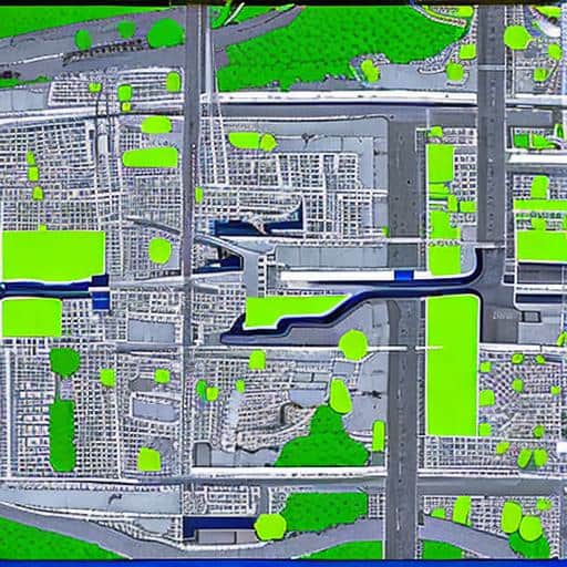
Geographical Information System (GIS)
As an independent GIS system integrator, we offer end-to-end geospatial services, such as:
GIS Consultancy
System Development & Implementation
Data Design & Modeling
Data Migration, Capture, Validation, and Maintenance
Web/Mobile GIS Application Development
Our expertise covers various utility domains, including Telecom, Electric, Water & Sewer, Waste Water, and Gas.
Telecom & Utilities
Our expertise extends to network planning, design, and mapping for technologies like Fiber, Hybrid Fiber Coaxial (HFC), FTTH, FTTX, FTTP, and FTTN. We also support electrical and gas utilities in designing and drafting power supply lines.
Infrastructure & Human Resources
Proffer Engineering boasts state-of-the-art infrastructure and a team that values equal employment opportunities and fosters a culture of transparency, mutual trust, and teamwork.
Communication & Hardware
We leverage collaborative project management and specialized software, including AUTODESK, BENTLEY-USTATION, ERDAS IMAGINE, INPHO, TRIMBLE & ASHTECH, DAT/EM, ArcGIS, ESRI, ER MAPPER, GLOBAL MAPPER, ADOBE PHOTOSHOP, ORTHO PRO, and ORTHO VIST, to deliver superior solutions.
At Proffer Engineering, we are committed to delivering excellence in every project we undertake. Contact us to learn more about how our services can meet your specific needs and contribute to the success of your endeavors.
info@proffereng.com
Our services: Steel Detailing Services