GIS LiDAR Data Processing Services
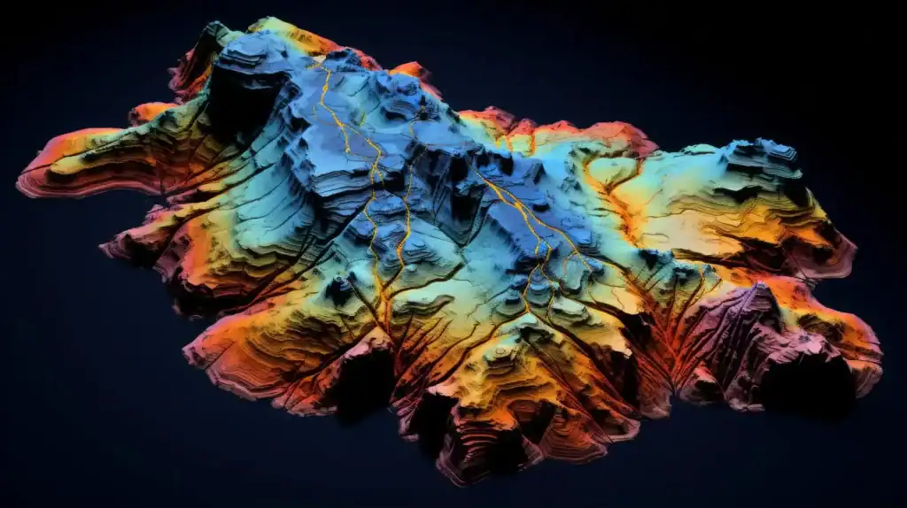
We turn raw LiDAR point clouds into accurate, classified and ready-to-use GIS data for engineering, utilities, forestry and urban planning.
Services
- Point cloud classification (ASPRS: ground, vegetation, buildings, wires)
- DEM, DTM and DSM generation, with contours
- Planimetric feature extraction: buildings, roads, poles, trees
- Powerline and corridor mapping
- Volume calculations and change detection
- 3D city and building models
Data sources
- Airborne
- UAV/drone
- Mobile mapping and terrestrial LiDAR (LAS/LAZ)
Tools
- TerraSolid
- Global Mapper
- ArcGIS Pro
- QGIS
- CloudCompare
Let's Discuss
+1 (219) 221-8725